Crewed aircraft or drone for a large campus capture?
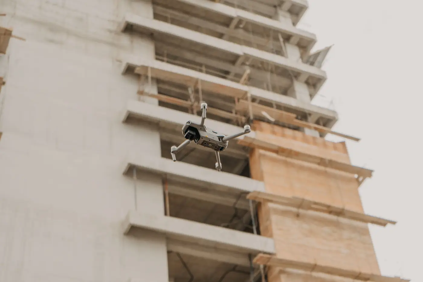
A 40-acre hospital expansion or a multi-building university campus puts a different question in front of the project team than a single tower does: do you fly it with a drone, or do you bring in a crewed aircraft with a mapping camera. Both can produce a surface model you can register against design. The right call depends on how big the site is, how fast it's moving, and what resolution you actually need to catch a wall that's six inches off plan.
Why the aircraft question even comes up on big sites
A quadcopter with a mapping payload can cover a few dozen acres in a flight or two, battery permitting. Past that, flight time starts eating the schedule. Multi-building campuses, large industrial yards, and anything over roughly a square mile start pushing drone operators toward longer missions, more battery swaps, or multiple crews on site the same day just to get one coherent capture.
A crewed aircraft, fixed-wing survey plane or helicopter with a nadir camera, covers that same ground in one pass. It's the tool civil surveyors have used for decades on highway corridors and large parcels for exactly this reason: area coverage per flight hour. The tradeoff is ground sample distance. Crewed aircraft flying at altitude for efficiency typically can't match a drone's close-range GSD without specialized equipment and a much bigger budget.
GSD: the number that decides if you catch the deviation
Ground sample distance is how many centimeters of real ground one pixel in your capture represents. It's the single number that determines whether a small deviation shows up at all or gets smoothed into the noise.
Catching a wall panel out of plumb, a misplaced duct run, or a slab edge poured a few inches off the model line needs sub-10 cm GSD. At that resolution, the reconstructed surface has enough detail to register meaningfully against a design model element by element. Coarser imagery, the kind you get from a crewed aircraft flying a cost-efficient altitude, is built for topographic survey and large-area context, not for flagging a stud wall that's out of tolerance.
That's the practical split: drone capture for the resolution a BIM team needs to compare against the model, crewed aircraft for raw area when the site is too large for a drone fleet to cover on a reasonable schedule.
Cadence: how often a large site needs flying
For a campus project running multiple buildings in parallel, a one-time as-built survey at closeout tells you about deviations after the concrete's cured and the rework estimate is already six figures. A capture cadence tied to the construction schedule, monthly works for most active phases, catches a deviation while it's still a change order instead of a demo job.
Monthly cadence also matches how campus projects move in practice. Different buildings hit structural milestones at different times, so a recurring capture gives every building team the same current view without scheduling a separate survey crew per phase.
So which one fits your campus
If the site is under a square mile or so and you need resolution fine enough to catch individual out-of-tolerance elements, drone capture is the practical choice, and it's what most campus-scale as-built comparison work runs on. If you're covering a much larger footprint, like a multi-site institutional portfolio, where area matters more than catching inch-level deviations in a single pass, a crewed aircraft earns its place, usually for the broader topographic picture rather than element-level QA.
For most campus builds, the practical approach mixes both: drone capture for the buildings under construction now, at sub-10 cm GSD, flown on a monthly cadence that lines up with your milestones. As-Built Compare registers that captured surface against your design model and flags what's out of tolerance, so a wall position problem shows up on a monthly report instead of at the final as-built survey.
If you're weighing drone against crewed aircraft for your next capture cycle, it's worth seeing what a monthly flagged-deviation report looks like before you lock in a method.