Photogrammetry vs lidar for construction progress tracking
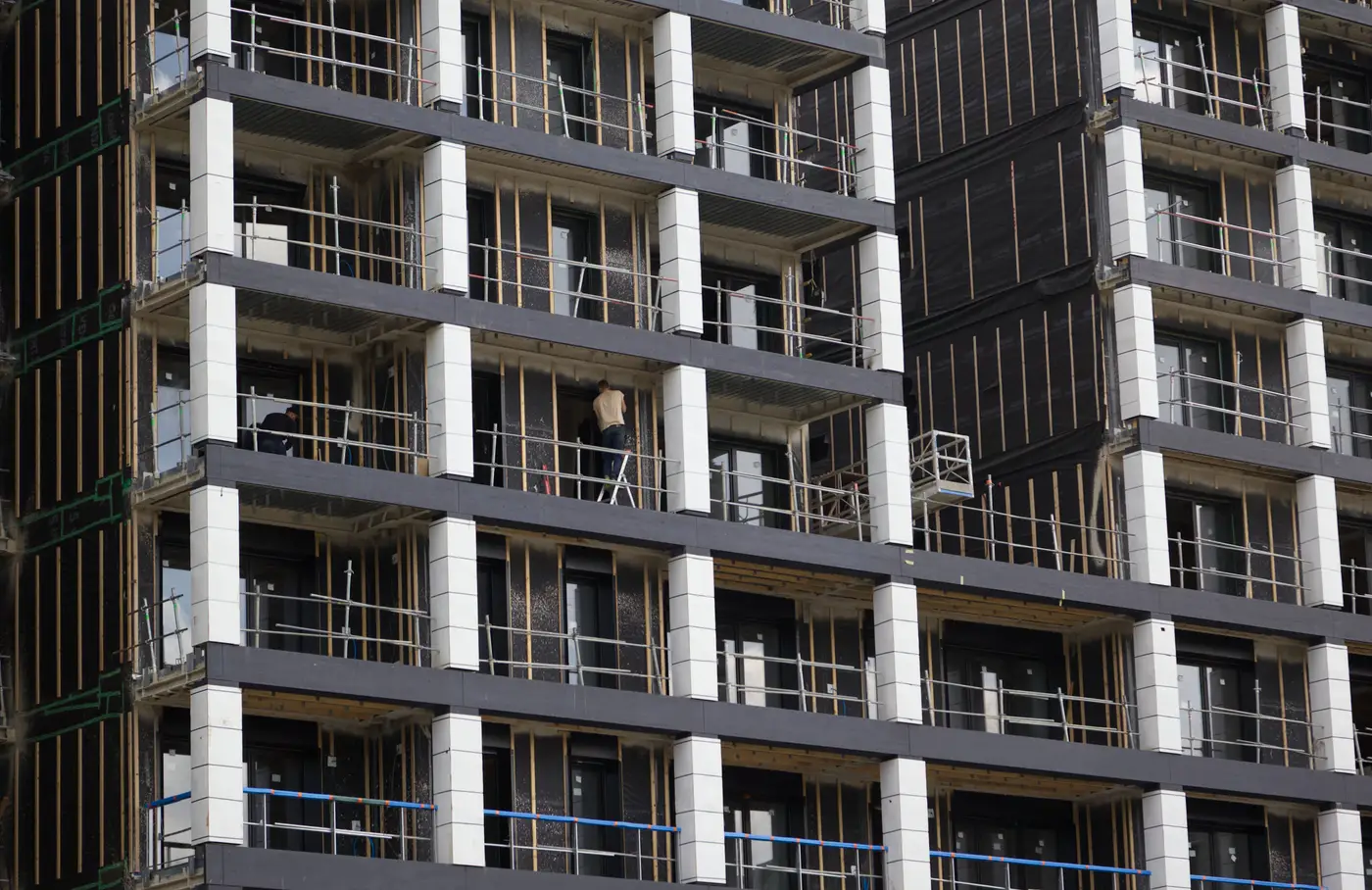
If you're deciding how to capture your site every month for progress tracking, the lidar-vs-photogrammetry question comes up fast. Both build a 3D representation of what's built. They get there differently, and that difference matters once you're trying to catch a wall out of plumb or a slab poured six inches off before it's buried under the next trade.
What each method captures
Lidar fires laser pulses from the sensor and measures the time it takes each pulse to bounce back. Stack enough of those returns and you get a point cloud, straight from the instrument, with no photos involved. It handles low light fine and can punch through gaps in thin vegetation, which is why utility surveyors and corridor mapping crews lean on it.
Drone photogrammetry builds the model a different way. The aircraft flies a grid pattern over the site, taking overlapping RGB photos, and structure-from-motion software stitches those photos into a point cloud, a mesh, and an orthomosaic. You need daylight and reasonably clean sightlines, but what comes out the other end is a full-color, photo-real surface you can scroll around and recognize: that's the retaining wall, that's the stockpile by the laydown yard, that's the footing that got poured out of sequence.
On a construction site with normal daylight and clear sightlines, photogrammetry gets you there at a lower cost per flight and with less specialized equipment than airborne lidar. That's why drone photogrammetry construction capture has become the default for progress documentation on most active sites.
Which method fits a monthly progress check
Lidar earns its keep where line-of-sight breaks down: dense tree canopy, pipeline corridors, terrain you need to see through vegetation to measure. Processing it usually means specialized point-cloud software and, often, a crewed aircraft or a ground-based scanner to get the density you need.
For an active construction site, most of what you're checking is already exposed: foundations, structural steel, MEP rough-in, building envelope. There's no canopy to see through. What you need is enough resolution to measure an element against the design model and a cadence tight enough to catch a problem before the next trade covers it up. That's a photogrammetry job, flown by drone, at a ground sample distance under 10 cm. Close enough to tell a beam is 4 inches out of position, run monthly so the gap between "it happened" and "someone noticed" is weeks, not the full project duration.
This is the gap As-Built Compare is built to close. It takes that monthly drone capture, registers the reconstructed surface to your design model, and flags elements that have drifted out of tolerance, while there's still time to fix it without tearing out finished work.
Where lidar still wins
None of this means lidar is wrong for construction. If your site has a wooded buffer you need surveyed, a corridor alignment with vegetation in the way, or you need bare-earth terrain under a partial canopy, lidar's ability to see through gaps in foliage beats photogrammetry outright. Airborne lidar surveys also tend to run on a crewed aircraft rather than a drone, which changes the cost and scheduling math for a one-time terrain survey versus a recurring progress check.
The honest answer to "lidar vs photogrammetry site capture" isn't one method winning across the board. It's matching the method to what you're trying to see. A formal as-built survey at closeout, covering terrain and vegetation, is a different job than a monthly check on whether the structure going up matches the model.
The cost of waiting for the formal as-built
Most projects still only find out about a deviation when the final as-built survey comes back at closeout, which by then means the wall is finished, the next trade already built on top of it, and rework means demo. A monthly photogrammetry pass catches that same deviation while it's still one trade's problem instead of three.
If that's the gap on your project, As-Built Compare is running an early-access pilot for owners and BIM teams who want that check running every month instead of once, at the end.