RTK vs PPK for drone survey accuracy on construction sites
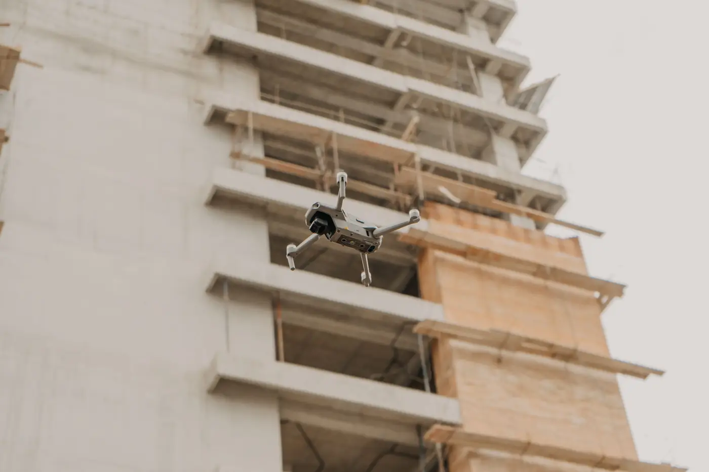
If you've sat through a survey proposal and watched RTK and PPK get used like they're interchangeable, they're not. Both correct the raw GPS position a drone records for every photo. The difference is when that correction happens, and that timing has real consequences for a site with spotty cell coverage, a tower crane in the way, or a base station three ridgelines from the laydown yard.
RTK and PPK, the short version
RTK (real-time kinematic) corrects the drone's position as it flies, using a radio or cellular link to a base station or a network like a CORS feed. The drone knows roughly where it is to a few centimeters the moment it takes each photo. That's convenient, but the correction is only as good as the link. A dropout over a stockpile or behind a structure drops that stretch of flight to standalone GPS accuracy, measured in meters.
PPK (post-processed kinematic) skips the live link. The drone just logs raw satellite data during the flight, and a ground base station (or a reference network) logs the same window independently. After the flight, software compares the two logs and corrects every position after the fact. No live link means no dropouts mid-flight. The tradeoff is a processing step after the flight before you get a usable dataset, so it's not instant.
For a construction site with a lot of vertical obstruction (structural steel going up, tower cranes, parking garages) PPK tends to hold accuracy more consistently across the whole flight. RTK is fine on open sites with a clean sky view and a reliable base station setup.
Ground control points vs RTK: do you still need them?
This is the question that comes up every time. A drone with a good RTK or PPK solution gives you accurate camera positions. It does not, by itself, guarantee the final point cloud or mesh lines up perfectly with your coordinate system, especially over a long capture area or across multiple flights stitched together over weeks.
Ground control points (GCPs), surveyed physical targets placed on site before the flight, give the processing software fixed, known coordinates to check itself against. Think of RTK/PPK as getting the camera positions right, and GCPs as the independent check that the whole model hasn't drifted. Most project teams running repeat monthly captures still place a handful of GCPs on the first flight or two, then rely on RTK/PPK plus a consistent flight plan for the recurring passes. Dropping GCPs entirely on a site where foundations, utilities, or structural tolerances matter is a gamble most QA teams don't take.
What sub-10cm GSD actually buys you
Ground sample distance (GSD) is the size of a pixel on the ground. It's a separate thing from positional accuracy, though people conflate them constantly. A sub-10cm GSD capture means you can resolve individual rebar, conduit runs, and formwork edges clearly enough to compare against a design model element by element. Pair that resolution with a tight RTK/PPK positioning solution and a few GCPs, and the reconstructed surface is accurate enough to register against your BIM model and flag what's out of tolerance.
That's the gap As-Built Compare was built to sit in: monthly drone capture, registered against your design model, flagging elements out of tolerance before they get buried under the next pour.
If your QA process is still waiting on a final as-built to find out what's wrong, it's worth seeing what a monthly comparison catches instead.